Conflict Data
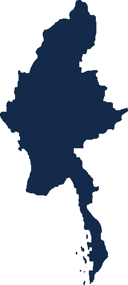
MCARI records political violence and conflict-related events in Myanmar, event by event, from the day of the 1 February 2021 coup onward. Each event is coded to one of 7 event types and 36 sub-event types under the MCARI Methodology and Codebook, and states when and where it happened, who acted against whom, and how many people were killed, detained or displaced.
Data from 1 February 2021 to 30 September 2026. Data: MCARI Data Release 1, edition MCARI_2021-2026_v1.0.
Events by township
3,692 events not located to a township are not shown on this map. Also not shown: 3 events in Nam Tit, 1 event in Ho Tawng (Ho Tao), 2 events in Mong Pawk, a township the MIMU boundaries do not draw.
Events by month
The event-level map, with event and sub-event filters, requires an account.
Explore the data
- States and regions →Each state and region: its townships, key figures and charts.
- Hot spots →Where events and deaths cluster, township by township and year by year.
- Control changes →Recorded captures and recaptures of towns, bases and other locations, by township.
- Casualties →Who is killed, how civilians are killed, and arrests, displacement and releases, month by month.
- Weekly calendar →Deaths week by week, and the deadliest weeks of each year.
- Forecast →A forecast for the next quarter in each state and region, with an 80% range and a published accuracy record.
How this data is built
Every figure here is coded under the MCARI Methodology and Codebook, version 1.1.
Limitations
- A zero means nothing was recorded. It does not mean nothing happened.
- Counts are minimums. Where a source gives no number, a fixed conventional figure is recorded; where it gives a quantity in words, the least those words allow.
- Displacement counts the times people were displaced, as reported in each event — a person displaced three times counts three times. It is not a count of distinct people.
How to cite
MCARI, Myanmar Conflict Data, MCARI Data Release 1, Myanmar Conflict Analysis Research Institute, mcari.org, accessed [date].
Reports and issues are on the Reports page: The Myanmar Conflict Monitor →